
Approvals
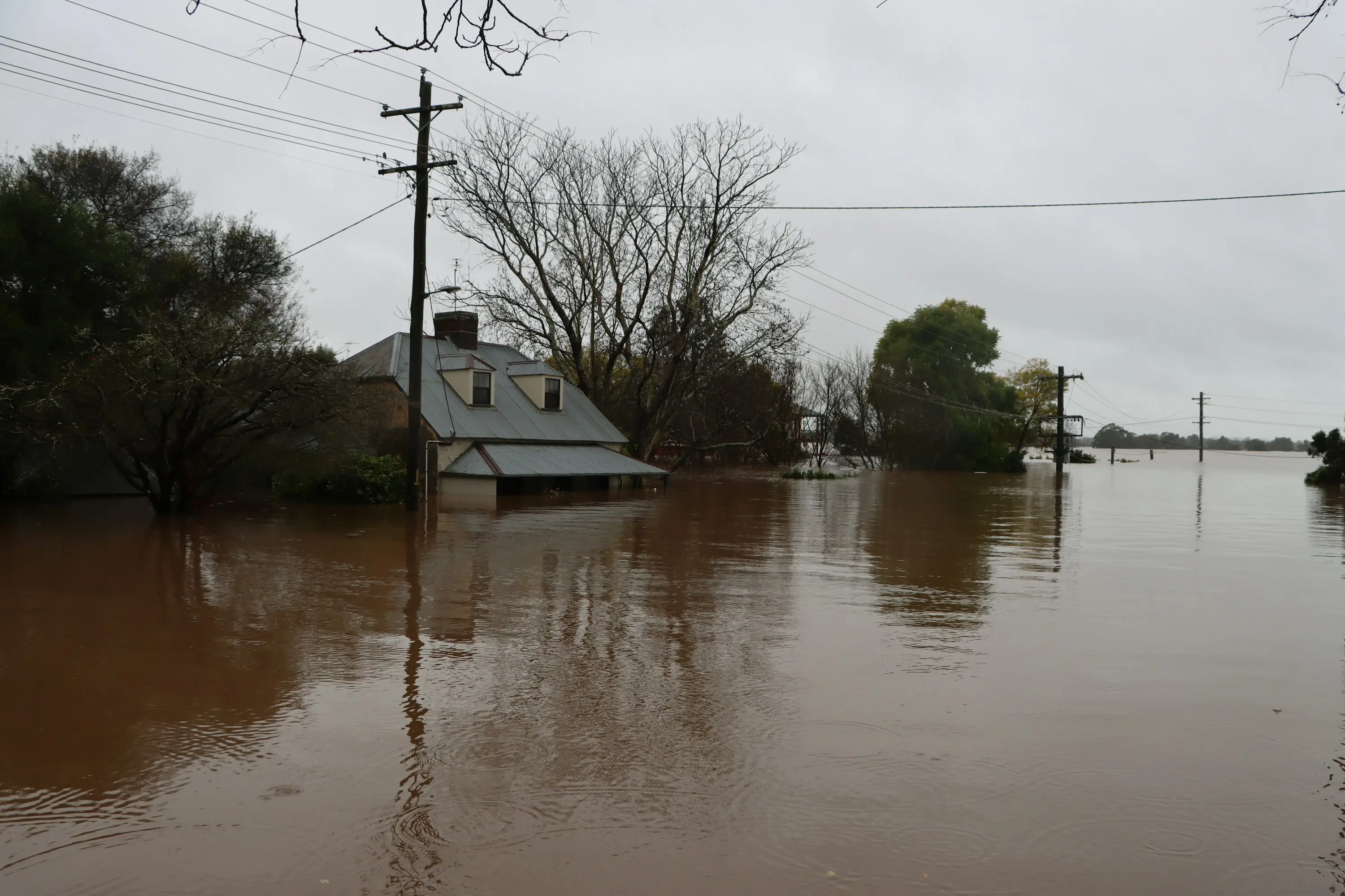
In Western Australia there is no single lot size or setback distance that triggers a flood study. A flood study is required, in practice, when one of four things is true: the site sits in or near a mapped floodway or flood fringe; the local planning scheme prohibits building on land the local government defines as liable to flooding or inundation and the site may be such land; the proposal changes drainage, fill levels or overland flow paths; or State Planning Policy 2.9 Water applies and flooding is likely at a site with no published flood mapping, in which case DWER advice must be obtained. On most rural and regional sites in Western Australia the fourth is the one that applies, because no flood mapping exists.
What the state policy actually requires
State Planning Policy 2.9 Water became operational on 18 December 2025 and now carries the flooding provisions that previously sat in SPP 3.4. Its riverine flooding section requires a proposal to identify flood-prone areas; not to rezone, subdivide or propose additional development that intensifies land use within a defined floodway; to maintain the free passage and temporary storage of floodwaters; to incorporate a minimum habitable finished floor level of 0.5 metres above the expected 1% annual exceedance probability flood event; and to obtain DWER advice where flooding is likely and no flood mapping exists.
Two of those definitions catch people out. A "floodway" is the land affected by river flooding in a 1% AEP event where floodwaters are flowing fast and deep — generally a high flood risk area, and no place for new buildings. A "flood prone area", by contrast, is defined in the policy as land susceptible to inundation by the probable maximum flood. That is a much larger area than the 1% AEP floodplain, and it is the trigger for identification rather than for prohibition — but it means a site can be flood-prone for policy purposes while sitting well outside the mapped 1% AEP extent.
What your local scheme says, which is usually less than you would expect
Most Western Australian local planning schemes deal with flooding in a single clause. The Shire of Plantagenet scheme provides that a building shall not be constructed upon any land defined by the local government as being liable to flooding or inundation. The Shire of Denmark scheme uses the same construction and then adds a hard number for its own estuary: for the purposes of the Wilson Inlet waters, land liable to flooding or inundation is set at below 2.5 metres AHD as the anticipated maximum water level.
What those clauses share is that they define the prohibition without defining the land. Neither scheme publishes a flood extent. So the practical question on a specific site is not "does the scheme allow this" but "is this land liable to flooding or inundation", and answering that is a hydrological question rather than a planning one.
A minority of Western Australian local governments do codify it. The Shire of Nannup publishes a flood-prone areas information sheet keyed to the DWER 4% and 1% AEP floodplains from the Blackwood River flood study, requires habitable floor levels no less than 500 millimetres above the 1% AEP flood level, requires the base of a septic tank or leach drain to sit a minimum of 300 millimetres above it, states that supporting evidence may be required at the proponent’s cost, and requires a licensed survey of floor height before work proceeds past the sand pad. That is what a fully worked local flood policy looks like. Most Great Southern shires do not have one.
Why regional sites almost always need bespoke work
DWER floodplain mapping covers twenty-six study areas across the whole of Western Australia. In the Great Southern that is four: the Denmark River at Denmark, Willyung Creek and Yakamia Creek at Albany, and the Gordon River at Tambellup. Mount Barker, Katanning, Kojonup, Cranbrook, Gnowangerup, Jerramungup, Walpole and Esperance have none. DWER states the position in the dataset itself: information on flooding or flood levels outside those areas is not currently available.
The mapping that does exist is narrower than its name suggests. Every DWER floodplain layer carries the same scope note — the advice relates to major river flooding only, and other issues such as stormwater drainage are not addressed. So a site can sit inside a mapped floodplain and still need separate stormwater analysis, and a site can sit outside every mapped area and still flood, because the mechanism that floods it was never in scope.
Put those two facts against the policy and the sequence is clear. Where flooding is likely and no mapping exists, SPP 2.9 requires DWER advice; DWER can only advise against information that exists; and where it does not exist, the 1% AEP flood level has to be derived for the site before a floor level, a fill design or a drainage strategy can be set against it.
The cheapest time to ask
The scope of a flood study depends almost entirely on two things: whether suitable terrain data and any calibrated model already exist for the catchment, and what standard the assessing authority expects. Neither is knowable from a postcode. What is knowable early is whether the question arises at all — and that is a fifteen-minute conversation rather than a commission.
The expensive version of this is the one where a proposal is lodged, a referral comes back requesting flood levels, and the study is commissioned into a live assessment clock with no terrain survey and no time to do the fieldwork properly. The work is the same work. Only the timeline and the leverage are different.