
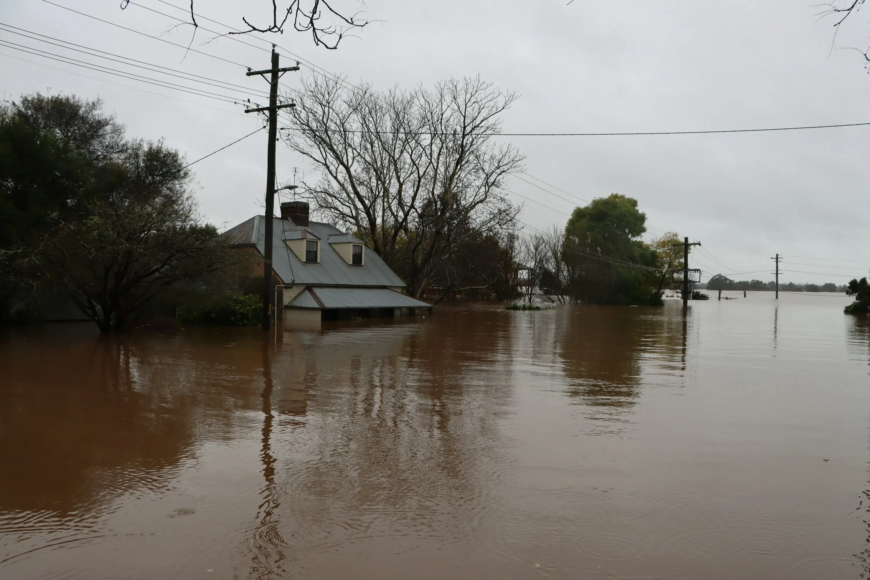
Hydrology & flood engineering
Hydrologist — WA South Coast
Overview
Fiord Group is a hydrology and flood engineering practice on the Western Australian south coast, based in Denmark and servicing Albany, Denmark, Walpole, Mount Barker and the wider Great Southern through to Esperance. Services cover flood studies and flood impact assessment, calibrated catchment and floodplain modelling to Australian Rainfall & Runoff, surface water management plans, drainage and hydraulic structure design, and hydrological input to DWER and EPA Western Australia approvals.
Services in WA South Coast
- Flood studies and flood impact assessment for development applications — Flood Impact Assessment
- Catchment and floodplain modelling to Australian Rainfall & Runoff (ARR) 2019 — Flood Hydrology & Modelling
- Surface water management plans, drainage design and erosion control — Surface Water Management
- Culvert, levee and basin design through to construction drawings — Hydraulic Structure Design
- Watercourse realignment and creek diversion design — River & Creek Diversions
- Flood immunity assessment for roads, rail and critical assets — Flood Resilience of Infrastructure
- Hydrological input to DWER and EPA Western Australia approvals — Hydrology for Approvals
Why south coast hydrology is its own problem
The south coast does not behave like the catchments most Australian flood methodology was calibrated on. The estuaries here are bar-built and seasonally closed, the coastal plain is very low-lying, and a century of drainage for agriculture has left a legacy that still shows up in the numbers. Standard assumptions carried down from Perth or across from the eastern states tend to fail in specific, predictable ways.
Torbay Inlet is the clearest illustration. Its catchment covers about 330 square kilometres, roughly 55 per cent cleared, containing some 244 kilometres of waterways. It is fed by a broad swampland system — Lake Powell, Lake Manarup, Five Mile Swamp, Seven Mile Swamp and Marbelup Brook — together with a network of man-made agricultural drains. A sandbar sits across the mouth for most of the year and is breached after significant rain. That single fact undoes the most common modelling shortcut on this coast: there is no fixed tailwater. The outlet condition is a variable, and whether the bar is open or shut at the time of the event can matter more to the modelled flood level than the rainfall depth does.
Elevation compounds it. Much of the land around the inlet sits below one metre, so under certain tide and wind combinations seawater pushes back up the estuary and inundates land from the seaward side — flooding that has nothing to do with rainfall at all. A barrage with floodgates was built in 1912 to control it and was ultimately unsuccessful. Any assessment that models only catchment runoff is modelling one of the two mechanisms that actually put water on the ground.
The drainage legacy is the third factor. Draining the lower swampland for agriculture exposed pyrite in the soil, which oxidised and left acid sulfate conditions across parts of the lower catchment. That constrains what earthworks and drainage a proposal can reasonably put forward — a basin excavated into the wrong material creates a water quality problem in place of the water quantity problem it was meant to solve.
The practice is based on this coast rather than servicing it from a capital city, which is the difference between knowing that an estuary is bar-built and knowing what the bar was doing during the event you are being asked to reconstruct.
Common questions
- Who does flood studies on the WA south coast?
- Fiord Group provides flood studies, flood impact assessment and catchment modelling across the south coast and Great Southern from its base in Denmark, WA — covering Albany, Denmark, Walpole, Mount Barker and out toward Esperance.
- What areas does Fiord Group cover?
- Based in Denmark, Western Australia with a Perth base. Local and regional work across Albany, Denmark, Walpole, Mount Barker, the Great Southern and the south coast through to Esperance, plus flood and water project delivery across Western Australia and the Northern Territory including the Pilbara.
- Why does south coast flood modelling need a local approach?
- The estuaries are bar-built and seasonally closed, so the downstream boundary condition changes through the year rather than sitting at a fixed level. Much of the coastal land is under one metre elevation and floods from the sea as well as from rainfall. And historic drainage has left acid sulfate soils across parts of the lower catchments. A model built on standard assumptions can be internally correct and still produce the wrong answer.
- What is the difference between a hydrologist and a hydrogeologist?
- A hydrologist works with surface water — rainfall, runoff, catchments, rivers, flooding and drainage. A hydrogeologist works with groundwater — aquifers, bores, water table behaviour and groundwater licensing. Fiord Group is a surface water practice.
- Do you travel for site work?
- Yes. Field operations run across Western Australia and the Northern Territory, and site inspection is part of most assessments — a catchment walked is worth a good deal more than a catchment read off a contour model.
Sources
Every catchment figure on this page comes from a published agency record. Where two agencies publish different numbers for the same catchment, the more recent is used and the earlier is stated alongside it rather than quietly dropped.