
Service
River & Creek Diversions
Overview
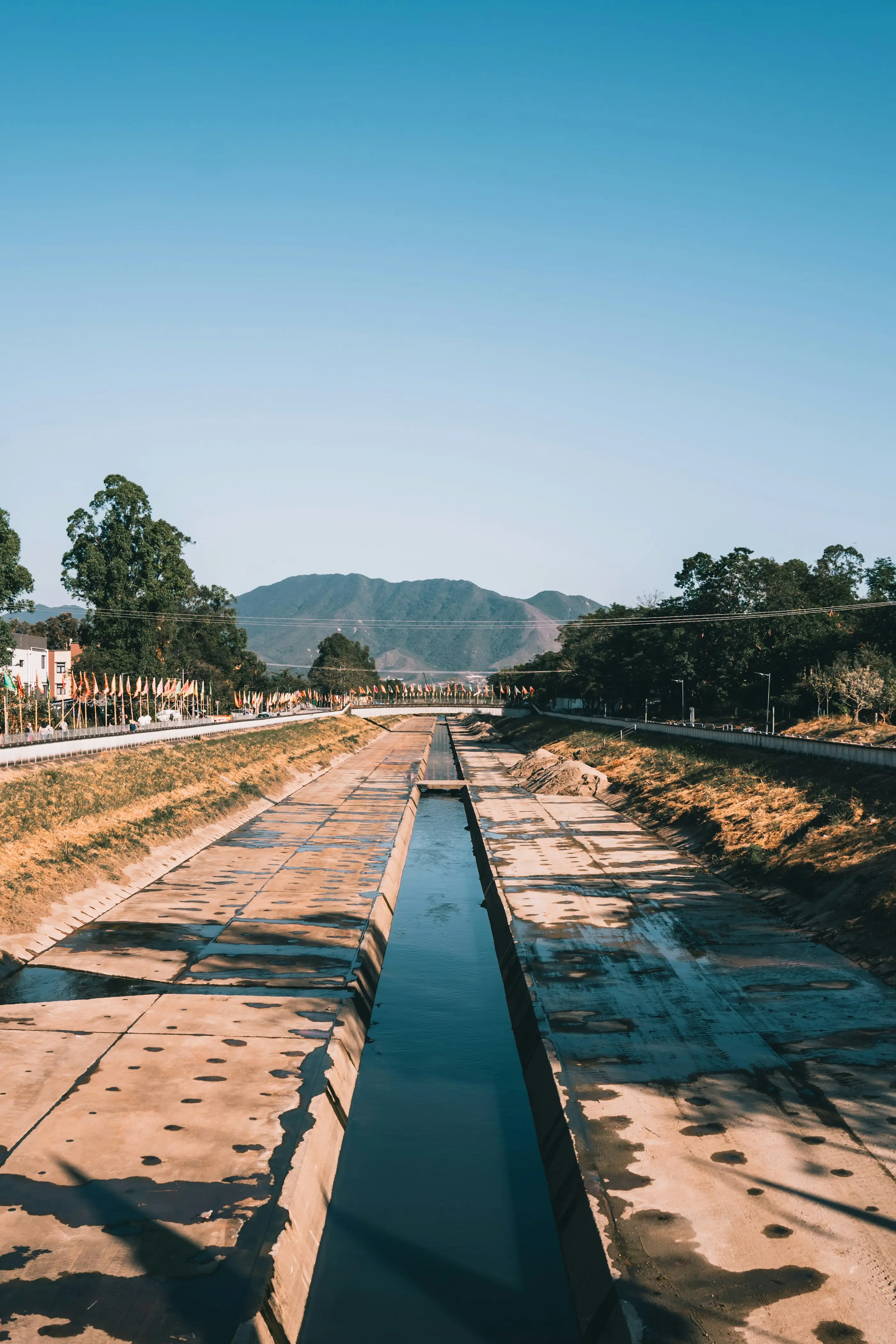
Realigning a watercourse around a pit, a landform or a piece of infrastructure without moving the flood risk somewhere worse — the diversion has to behave like the creek it replaces, not just carry its flow.
Capabilities
- Hydraulic and geomorphic channel design — bed, batters and lining sized to the diverted catchment’s actual flow regime, not a generic trapezoidal template
- Design carried from concept alignment through construction drawings on the same model, so a change late in approvals doesn’t mean starting the hydraulics again
- Erosion and scour protection at tie-in points, sized against extreme events rather than the average year
- Coordination with mine planning and land-access constraints so the diversion’s footprint matches what’s actually buildable
Most diversion failures show up at the tie-in points, not in the middle of the new channel — where the realigned watercourse rejoins natural ground under conditions the original design never tested. That's where the detail work goes.
Related Projects
Next Service
Flood Resilience of Infrastructure
Rail · Roads · Assets