
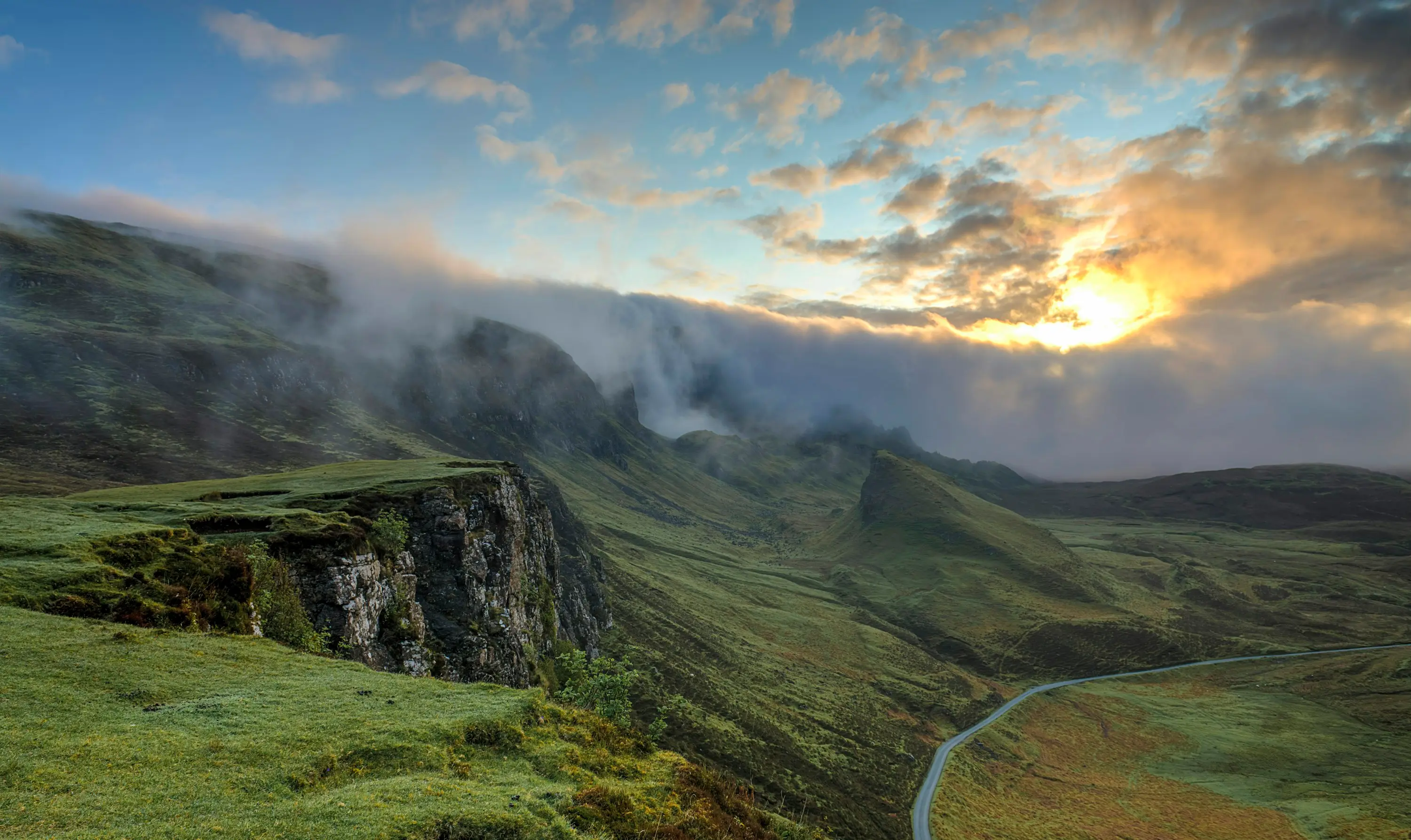
Wetlands
There is no default distance. The EPA publishes no buffer width in its Inland Waters guideline — it asks proponents to apply the mitigation hierarchy to any proposal near a wetland or waterway, and to conduct appropriate buffer studies to justify whatever buffer they propose. It does publish one rule about the measurement, and it is the rule most often broken: buffers should be measured from the geomorphic wetland boundary. And it states what a buffer is for — maintaining the ecological and hydrological processes and functions associated with the wetland or waterway, protecting it from potential adverse impacts, and protecting the community from potential nuisance insects such as midges. A buffer width that was not derived from those functions is a number waiting to be queried.
What the EPA actually says about buffers
Buffers are one of the issues the EPA lists as commonly encountered in environmental impact assessment, and it is specific about where: many referrals in the South West, including the Swan Coastal Plain, involve an impact on a wetland or waterway, and information received from proponents often lacks detail about adequate buffers.
What it asks for has two parts. First, that a proponent clearly outlines how the mitigation hierarchy has been applied to avoid environmental impacts — because some impacts can be avoided altogether by maintaining an adequate buffer between the proposed activity or land use and the wetland or waterway. Second, that any proposed buffer is justified by an appropriate buffer study. The order matters: the buffer is a means of avoiding impact, not a concession offered after the layout is fixed.
Nowhere in that does a number appear. That is not an omission — it follows from the reasoning. If the buffer exists to maintain particular processes and functions, its width is a property of those processes on that site, not a policy constant.
The measurement rule that changes the answer
Buffers should be measured from the geomorphic wetland boundary. That single sentence resolves a surprising number of disputes, because the geomorphic boundary is the wetland’s landform extent — not the edge of standing water on the day somebody walked it, not the vegetation line, and not a cadastral boundary that was drawn without reference to either.
On a seasonal wetland the difference is large and it runs one way. A wetland surveyed at the end of summer has no water in it, so a buffer measured from what was visible on that day starts from a line well inside the wetland and delivers less protection than its stated width implies. The buffer question therefore begins with a boundary question, and the boundary question is a mapping and landform exercise rather than a site walk.
Which dataset your site sits in, and what that tells you
When the EPA lists significant ecosystems it names conservation category and resource enhancement management wetlands as mapped in the Geomorphic Wetlands of the Swan Coastal Plain dataset, managed by the Department of Biodiversity, Conservation and Attractions. That management category framework is the one people quote — and it attaches to that dataset, which covers portions of the Swan Coastal Plain between Wedge Island and Dunsborough.
Away from the Swan Coastal Plain the mapping is a different family of datasets with different histories. DBCA publishes Ramsar Sites, the Directory of Important Wetlands, Geomorphic Wetlands Augusta to Walpole, South Coast Significant Wetlands, Walpole Wilderness Peat Wetlands, Wheatbelt Wetlands Stage 1, several Cervantes datasets, Darkan-Duranillin, and three carrying "unreviewed" in the dataset title — Geomorphic Wetlands South West, Manjimup to Northcliffe, and Leeuwin Naturaliste Ridge and Donnybrook to Nannup. The word unreviewed in a dataset name is a statement about confidence, and it belongs in the assessment rather than in a footnote.
The South Coast Significant Wetlands dataset is a good example of why provenance matters. It was developed by the former Water and Rivers Commission South Coast region to document the region’s natural assets, and its wetland spatial information was drawn predominantly from wetland survey reports rather than from a single systematic mapping programme. It is a valuable layer. It is not the same kind of object as the Swan Coastal Plain evaluation, and treating the two as interchangeable produces confident statements that do not survive review.
And the case that catches sites everywhere: a wetland can exist on land that appears in none of these datasets. Absence from the mapping is an absence of mapping. It is not a finding that no wetland is present, and it is not a defence if one is.
The drying South West is part of the same question
The EPA identifies changing water regimes in the South West as a separate issue, and states it plainly: there has been a significant overall downward trend in runoff and recharge in the South West as a result of reducing rainfall over the past forty years, which has contributed significantly to declining groundwater levels and reduced stream flows, and in-situ values and water availability for use have been significantly impacted.
It then says how that will be treated. Impacts on water regimes are considered in the context of the historic, current and predicted future cumulative impact to those systems — including where regimes have already been significantly affected by changes in rainfall. So the proposal is not assessed against the wetland as it was mapped. It is assessed against a system already carrying decades of decline, where a further increment is being added to a trend.
That reaches the buffer directly. A buffer justified on a wetland’s historical hydroperiod may be protecting a hydrology that no longer occurs, and a buffer sized for a system that is drying has to be honest about which baseline it used and why. Stating the baseline explicitly is not a weakness in the assessment — it is the part a reviewer is looking for.
What a defensible buffer study contains
The mitigation hierarchy first, in writing: what was avoided, what was then minimised, and what the buffer is doing that layout changes could not. Then the geomorphic boundary determination, stated with its basis. Then the functions the buffer is there to maintain — surface water inputs and overland flow paths into the wetland, drainage behaviour along its margin, sediment and nutrient interception from the land uses on the other side, and the groundwater relationship where the wetland has one. Then the nuisance insect consideration the EPA names, which is about protecting the community from the wetland as much as the wetland from the development.
It is a multi-disciplinary piece of work, and worth being clear about the division. The hydrological half is the water regime, the flow paths, the drainage and the sediment. The ecological half is the vegetation, the habitat and the fauna. A buffer study that is only one of the two is half a study, and the half that is missing is usually the one the reviewer asks about.