
Service
Flood Hydrology & Modelling
Overview
The model is the one piece of work that gets reused across every later stage of a project — approvals, detailed design, construction — so it’s built to be right once, not fast once.
Capabilities
- Calibrated 1D/2D catchment and floodplain modelling to current Australian Rainfall & Runoff (ARR) methodology
- Design rainfall derivation matched to climate — generalised short-duration methods and regional temporal patterns for tropical and arid-zone catchments, not a default template
- Terrain and hydraulic structure representation built to survey-grade data where it’s available, so the model reflects the ground rather than an assumption about it
- One calibrated model carried through from first assessment to final design — not rebuilt at each subsequent stage of a project
A model built only to answer the approvals question gets thrown away the moment approval lands, and the next consultant starts again from zero. Built the other way around, the same model answers the design questions too.
Related Projects
LNG Export Terminal
Louisiana, USA
Lithium Brine PFS
Salta, Argentina
Copper-Gold Feasibility
Sumbawa, Indonesia
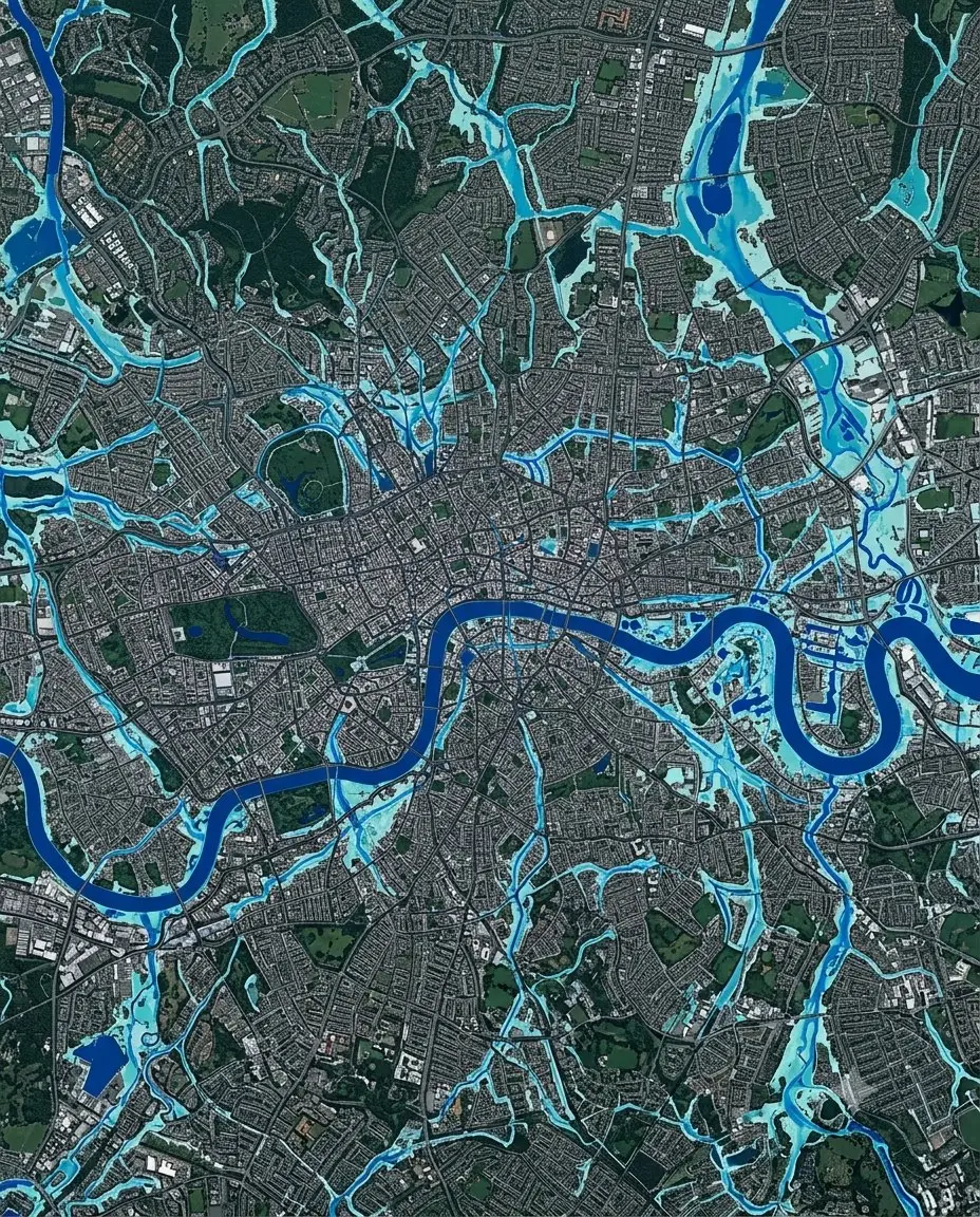
Urban Canal FRMS&P
Sydney, NSW
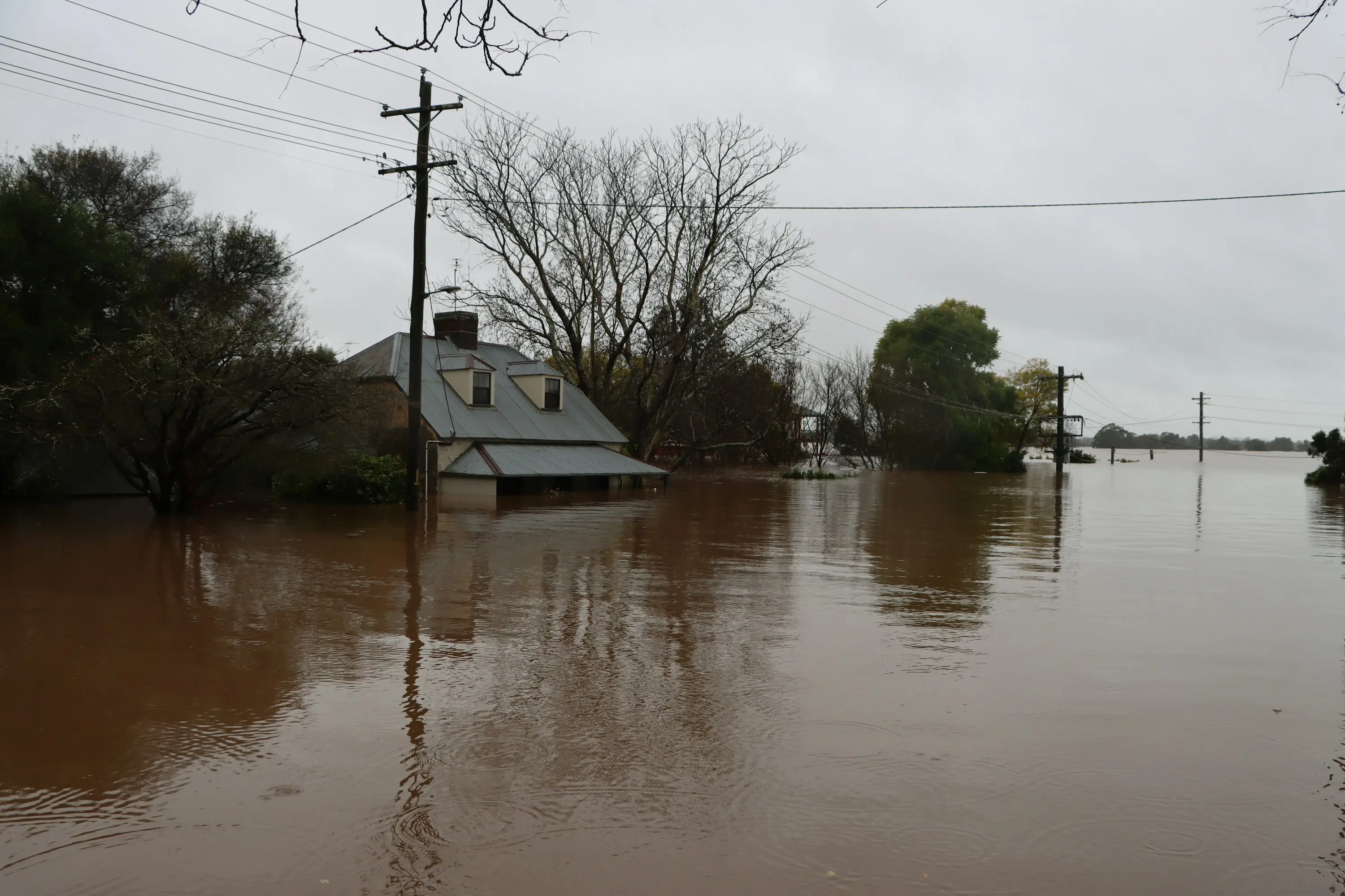
Regional Flood Assessments
Northern NSW
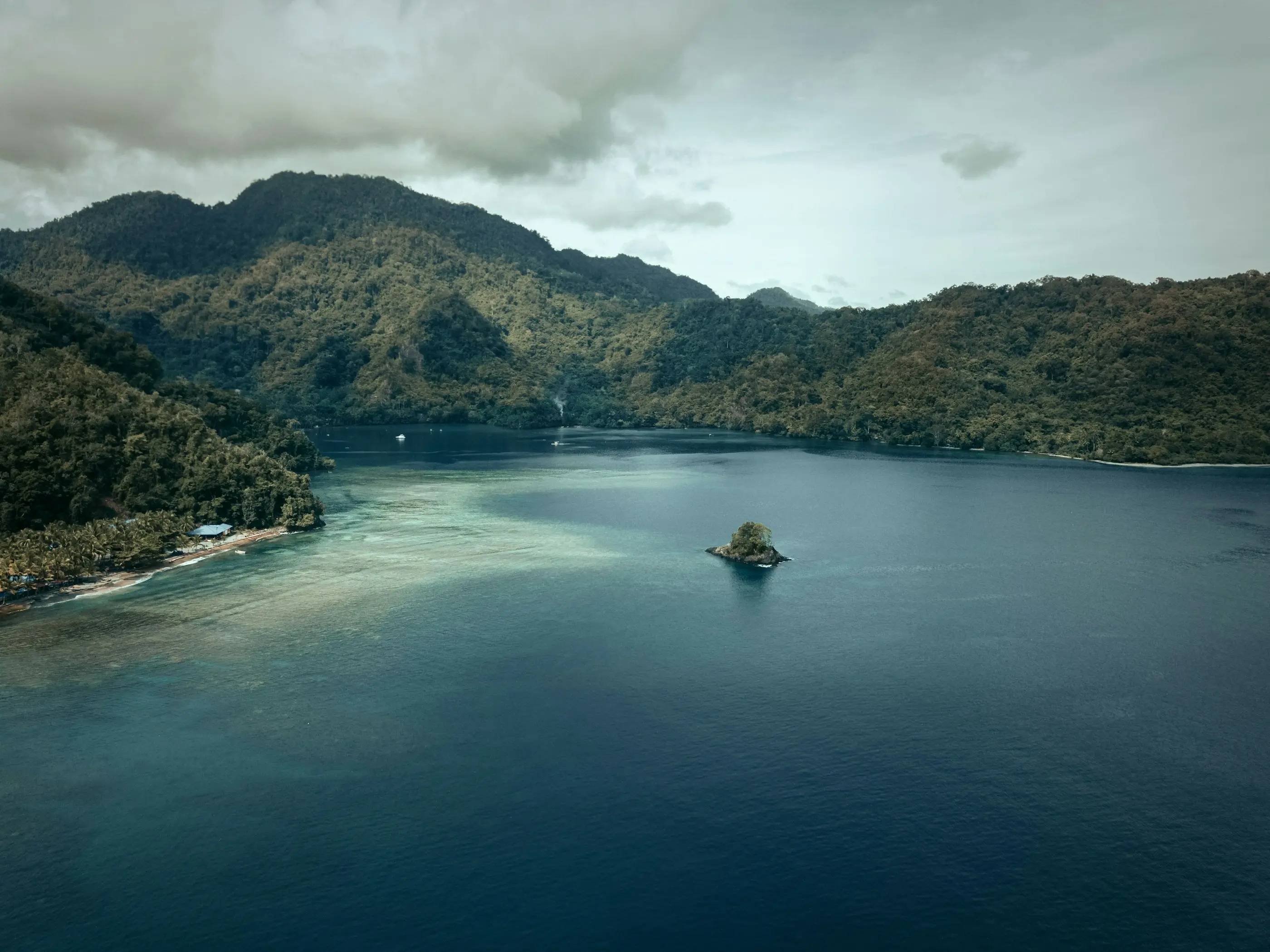
Coastal Development Hydrology
Papua New Guinea
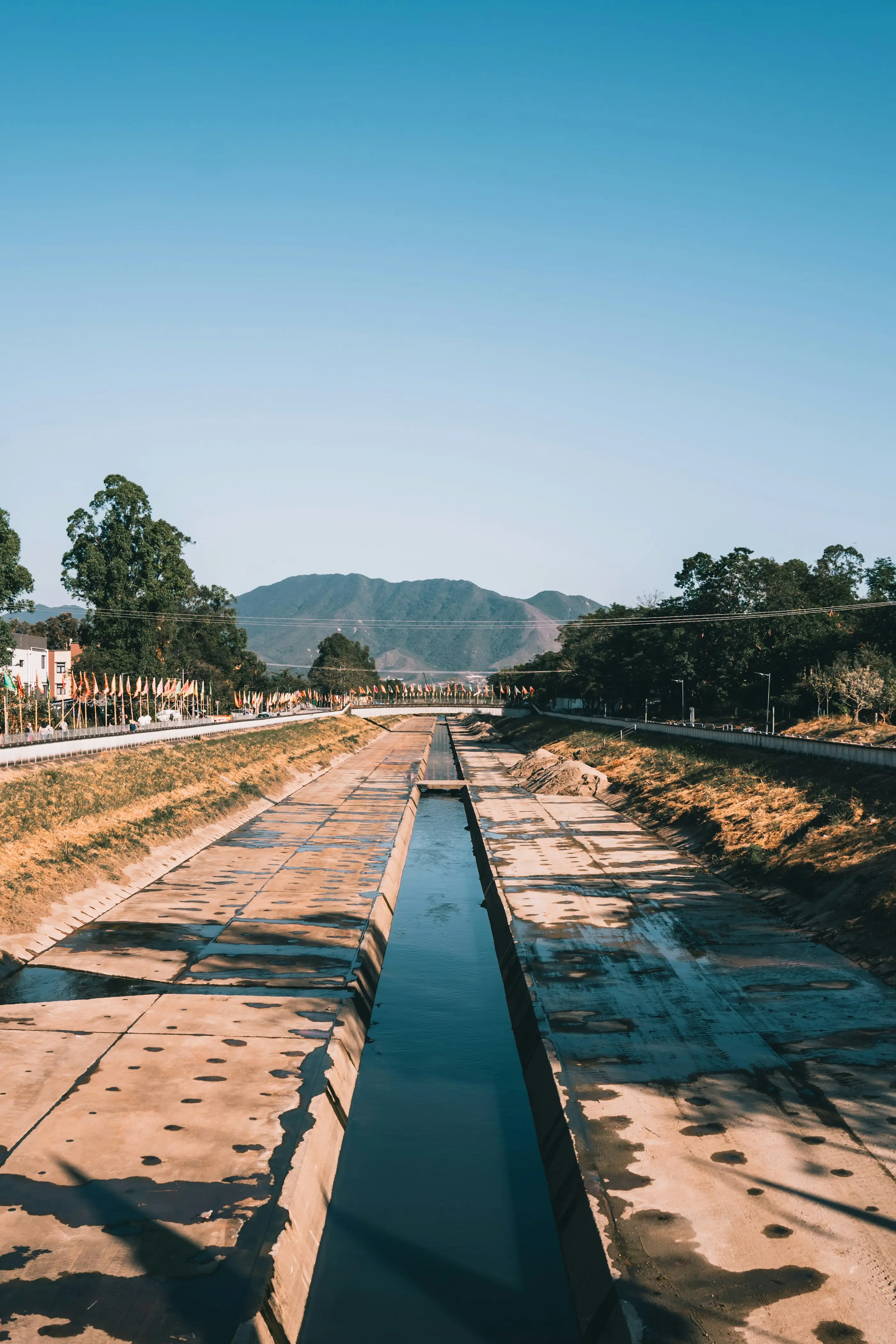
Mine Flood Protection & Closure
Pilbara, WA

Resort Redevelopment Flood Study
South West, WA
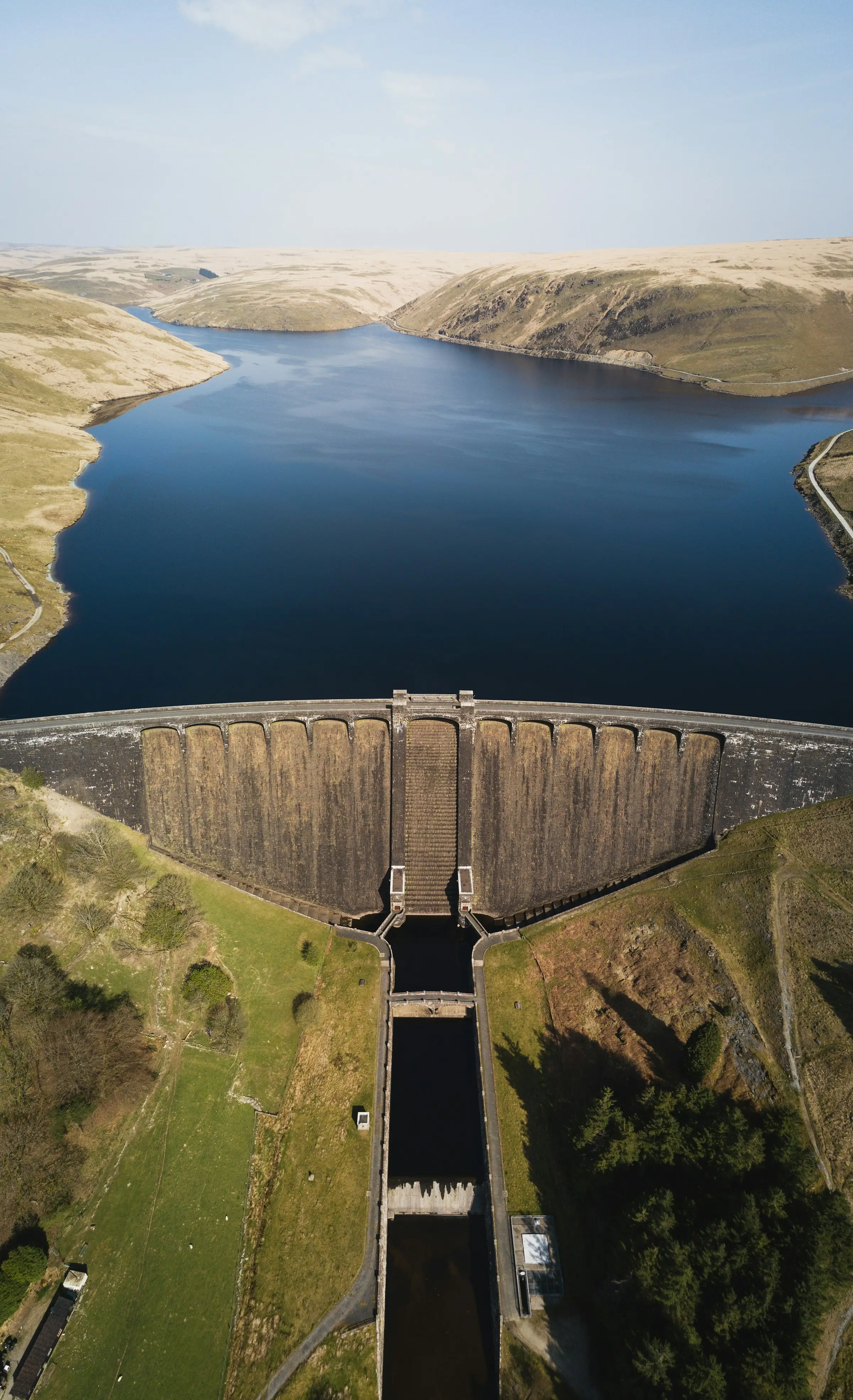
Estate Dam Failure Assessment
Victoria
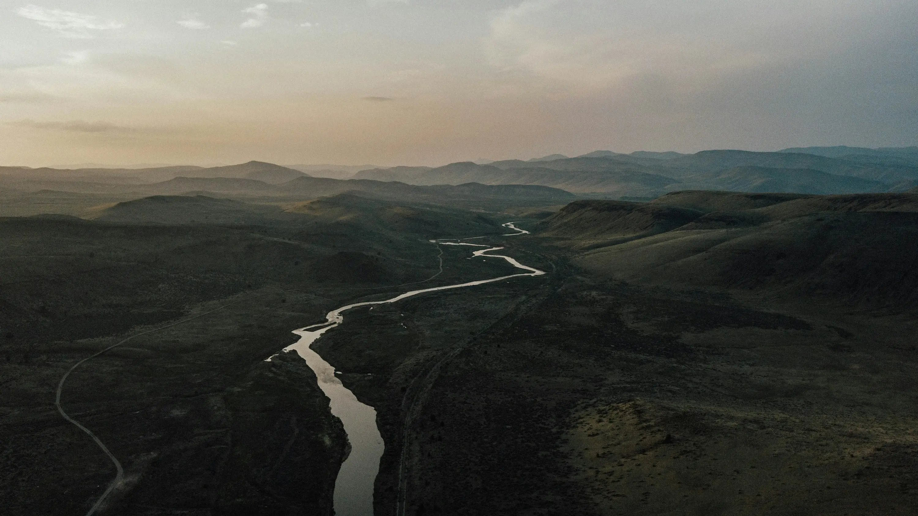
Mine Flood Levee Assessment
Northern Territory
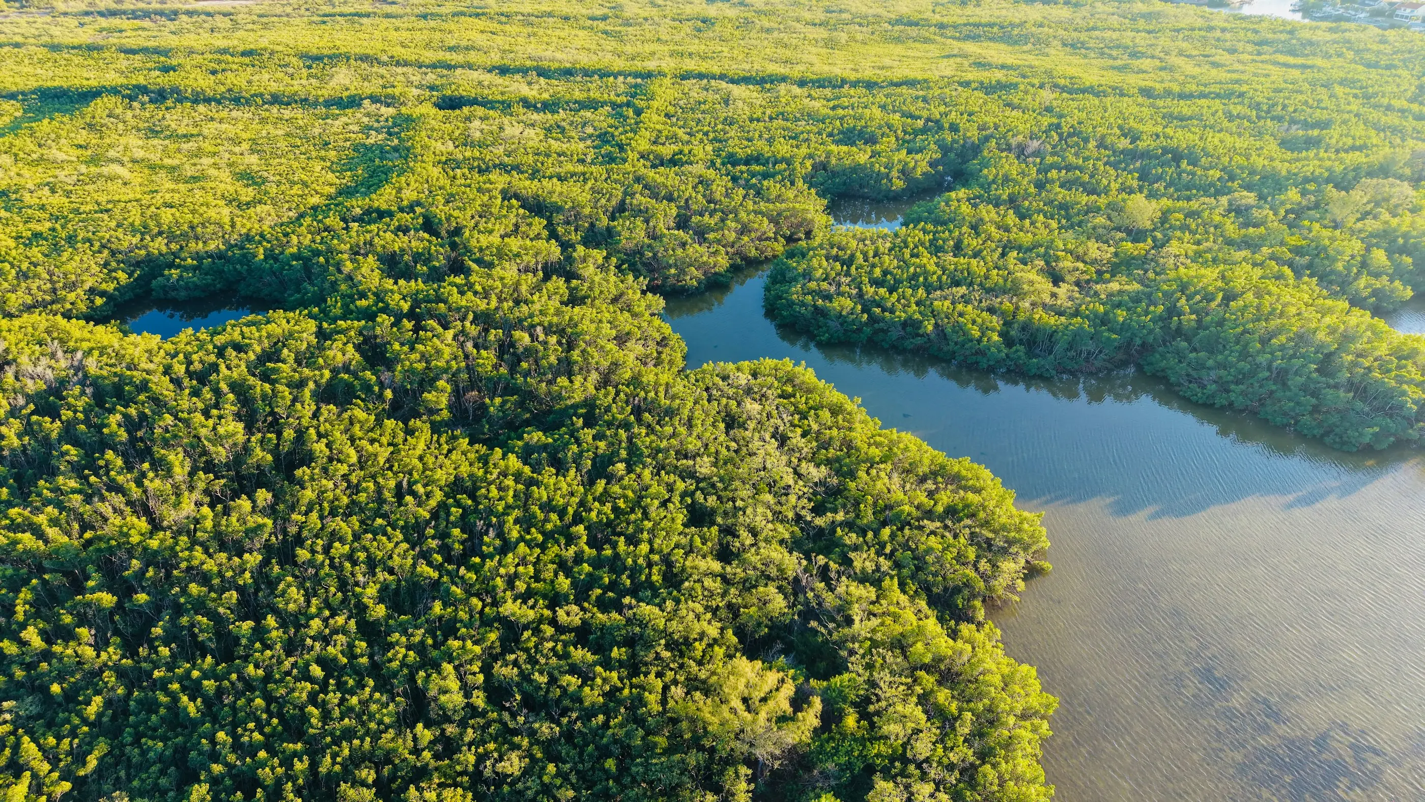
Hydrogen Plant Detention Basins
Texas, USA
Next Service
Hydraulic Structure Design
Culverts · Levees · Basins