
Selected Project
Regional Flood Assessments
Overview
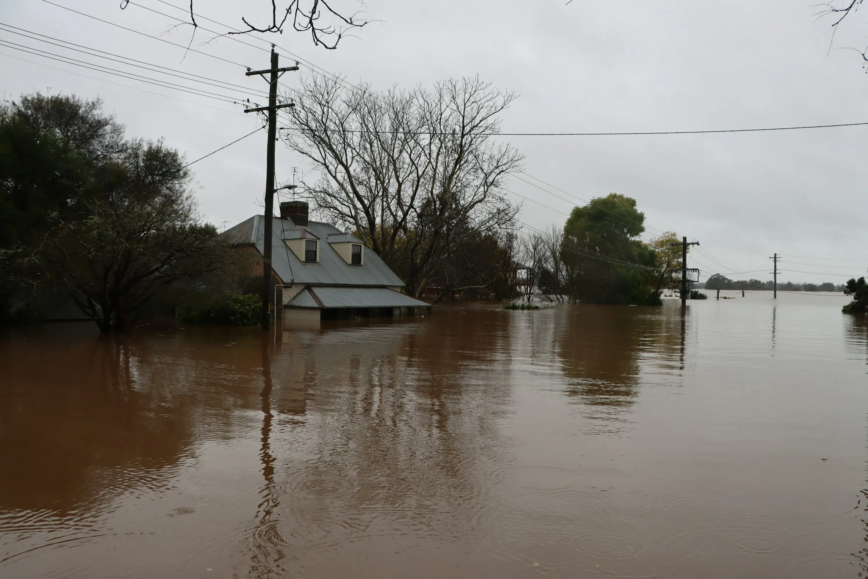
Rapid per-property flood hydrology across 40-plus sites after the February–March 2022 east coast event, each one establishing what kind of water reached the building and where it came from.
Location
Northern NSW
Sector
Infrastructure & Government
Scope
Flood Impact Assessment · Flood Hydrology & Modelling
The event itself was extraordinary and well documented. A coastal trough held nearly stationary by a blocking high over the Tasman drew moist onshore flow off a warm Coral Sea for the better part of a week, and intense rain fell on catchments that were already saturated. Six-day totals to 28 February ran to at least two and a half times the February average across parts of north-eastern New South Wales and south-eastern Queensland, more than thirty sites recorded over a metre of rain in six days, and the Wilsons, Richmond, Tweed and Brunswick systems all flooded. The Lismore levee was overtopped on the morning of the 28th and the river went past its March 1974 peak.
At property scale the question is narrower and it decides the outcome: was this riverine flooding, or was it stormwater and flash runoff that never came out of the river at all? The two arrive differently, leave different evidence, and are treated differently by the policy the claim sits under. Establishing which, address by address, against gauge records, rainfall and terrain — and being able to show the reasoning — is the whole job. Forty of them on a compressed timeline is a methodology problem as much as a hydrology one: the finding has to be defensible on its own at every single address.
More in Infrastructure & Government

Next Project
Compensating Basin Stormwater
Esperance, WA