
Selected Project
Urban Canal FRMS&P
Overview
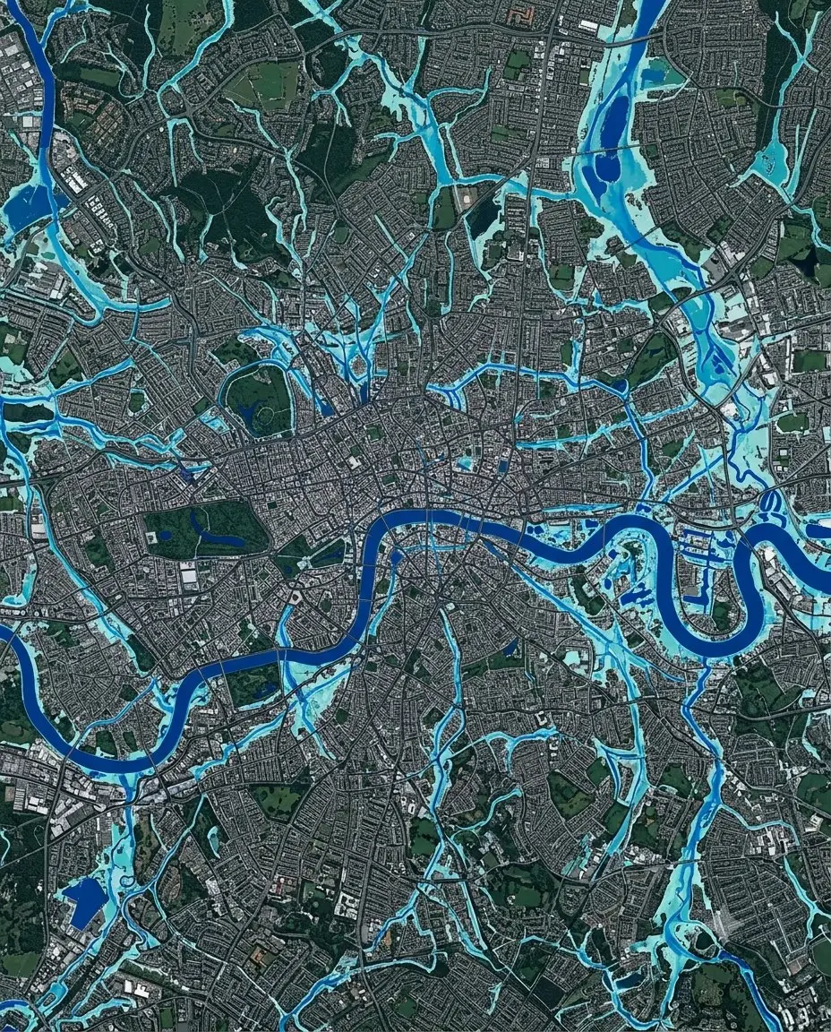
Flood risk management study and plan for an urban canal system, balancing catchment-scale flood behaviour against the realities of an already-built city around it.
Location
Sydney, NSW
Sector
Infrastructure & Government
Scope
Flood Hydrology & Modelling · Flood Impact Assessment
The study had to work at two scales at once — catchment-wide flood behaviour, and the individual properties and infrastructure sitting inside the mapped extent — without either scale contradicting the other.
The model reconciled decades of incremental urban development into a single, defensible picture of how the catchment floods today — the basis for the council's ongoing flood planning.
More in Infrastructure & Government

Next Project
Regional Flood Assessments
Northern NSW