
Selected Project
Coastal Development Hydrology
Overview
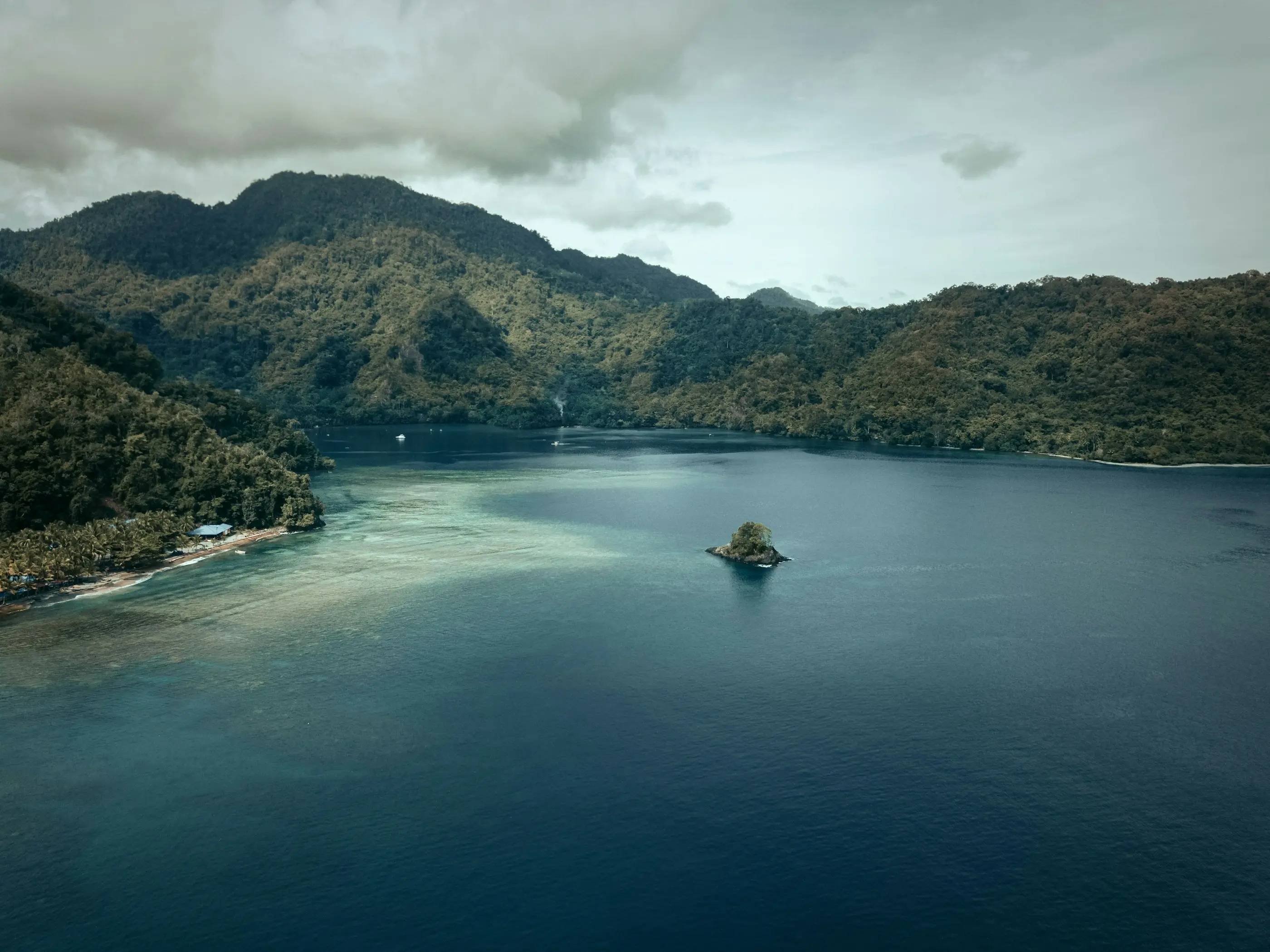
Hydrologic and hydraulic study for a proposed coastal subdivision below a steep tropical island catchment, on ground that takes three to five metres of rain in an average year and has no usable flow record.
Location
Papua New Guinea
Sector
Infrastructure & Government
Scope
Flood Hydrology & Modelling · Flood Resilience of Infrastructure
The catchment above the site runs to about 27.6 square kilometres and falls 300 to 400 metres within three kilometres of the ridge, so it responds to rainfall in minutes and returns to baseflow within days. Two questions had to be separated: how much flood risk already existed on the site, and how much the subdivision itself would add. Catchment delineation was built from LiDAR at one metre over the site against regional SRTM at thirty metres, routed through a RORB model, and carried into a hydraulic model producing water surface elevation and velocity mapping for the 20-year and 100-year events across durations from fifteen minutes to twenty-four hours.
The site had three flow gauges and none of them could be used — short records, daily resolution, and quality problems that make a dataset worthless for extreme storm estimation. Design rainfall came from the Papua New Guinea Flood Estimation Manual instead, temporal patterns included: Australian Rainfall and Runoff is the wrong book on an island with that rainfall regime, and reaching for it because it is familiar is how a tropical catchment gets modelled as a temperate one. The development’s own contribution was then isolated by mapping afflux between the existing and developed cases rather than by comparing absolute flood levels.
More in Infrastructure & Government
Next Project
Sediment Control Strategy
Pilbara, WA