
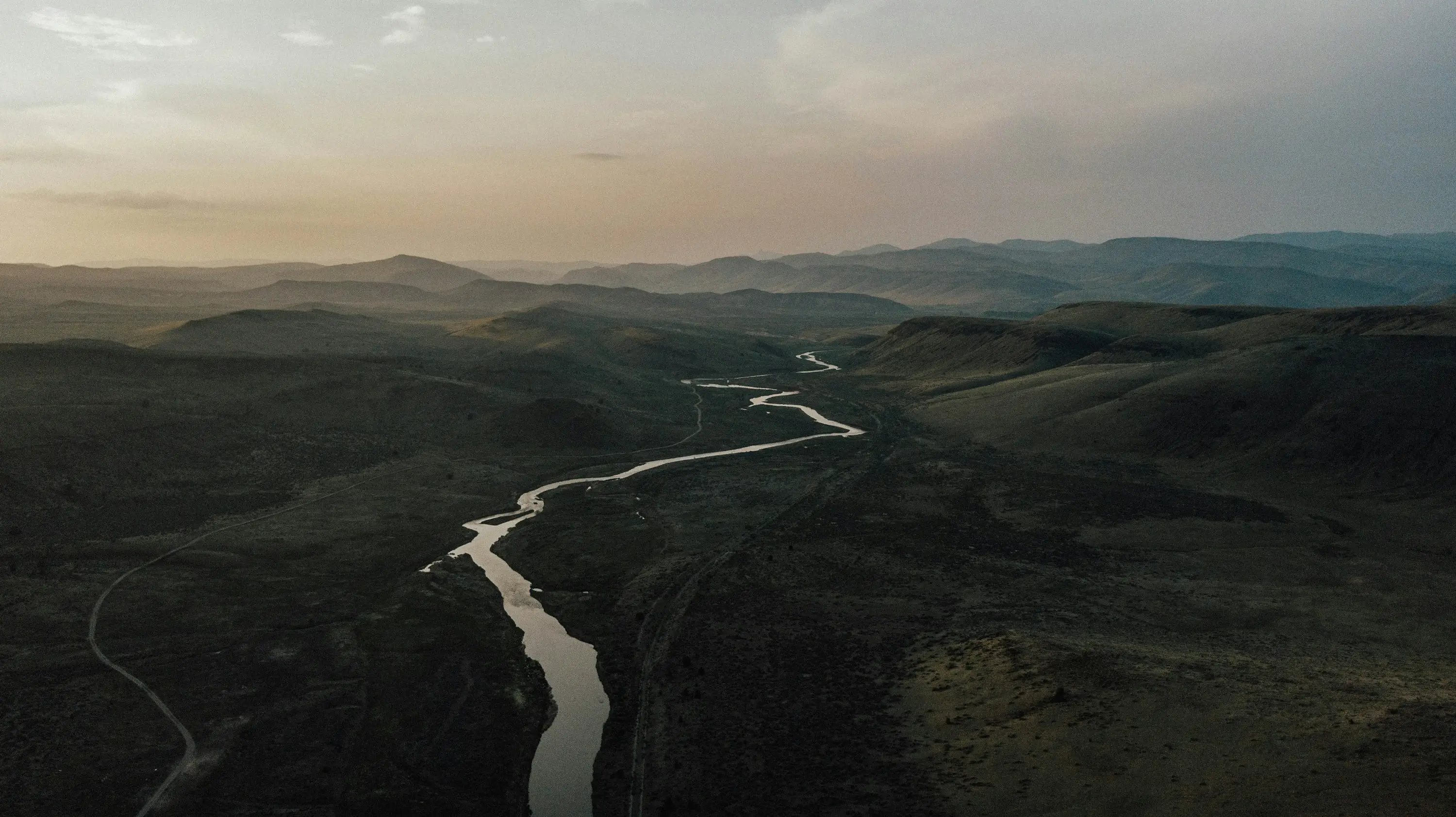
Selected Project
Mine Flood Levee Assessment
Overview
A levee protecting the eastern side of an open pit needed flood levels nobody disputed. An independent 2D model was built alongside the existing one so the two could be compared and a defensible design level adopted from the pair.
Location
Northern Territory
Sector
Mining & Resources
Scope
Flood Hydrology & Modelling · Hydraulic Structure Design · Surface Water Management
Two models, two software packages, one floodplain — run for the 1% AEP and the probable maximum flood, then compared level by level. Where they disagreed, the difference was traced to roughness assumptions and boundary treatment rather than averaged away.
The review also found two adjacent creek catchments left out of both models. Their peaks likely pass before the main creek peaks, so flood levels at the levee probably stand — but one of them drains toward the mine, and "probably" is not a basis for leaving it unmodelled.
More in Mining & Resources
Next Project
Battery Materials Flood Study
Goldfields, WA